Disaster Management Manual
A manual for practitioners and decision makers!

Disaster Management Manual
A manual for practitioners and decision makers!
On March 11, 2011, the Great East Japan Earthquake occurred. The magnitude (Mw) of the earthquake was 9.0 to 9.1, the largest ever recorded in Japan. A maximum seismic intensity of 7 was observed in parts of Miyagi Prefecture. The main quake, the resulting tsunami, and subsequent aftershocks caused tremendous damage throughout eastern Japan, from the Tohoku region to the Kanto region. Many people lost their lives.
The tsunami reached the coast of Iwate Prefecture about 25 minutes after the earthquake. Its speed is said to have reached several tens of kilometers per hour.
The maximum wave height was recorded at 9.3 meters at the port of Soma in Fukushima Prefecture 1, and the run-up height, which indicates the height up a slope, was 40.5 meters in the Shigemoe Aneyoshi district of Miyako City 2, the highest ever recorded in Japan. Analysis by Tohoku University revealed that the tsunami had traveled up the Kitakami River to a point about 49 km from its mouth 3.
Miyako Road, a 4.8-km section of the Sanriku Expressway, opened in March 2010. When the tsunami hit the area, about 60 residents managed to escape by climbing up the expressway embankment.
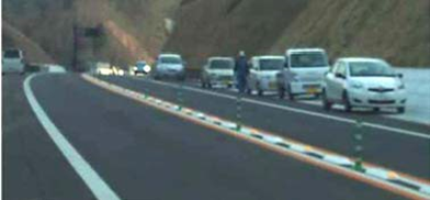
The Kamaishi–Yamada Road, a 23-km section of the Sanriku Expressway that was opened only six days before the 2011 Great East Japan Earthquake, served as a disaster management road. It was built to ease traffic congestion on Route 45, the main road connecting the coastal communities. Since Route 45 was prone to flooding from typhoons and tsunamis, the new road was expected to provide an alternative route if Route 45 were cut off in an emergency. In the Unosumai District of Kamaichi City, about 570 residents and school children escaped the tsunami. Because the road that led to the evacuation shelter had been destroyed, they climbed up to the Kamaishi-Yamada Road and managed to reach the evacuation shelter safely. Figure 4.4.6-1 4 shows photo for the residents who evacuated on foot along the Kamaishi-Yamada Road (Motor road).

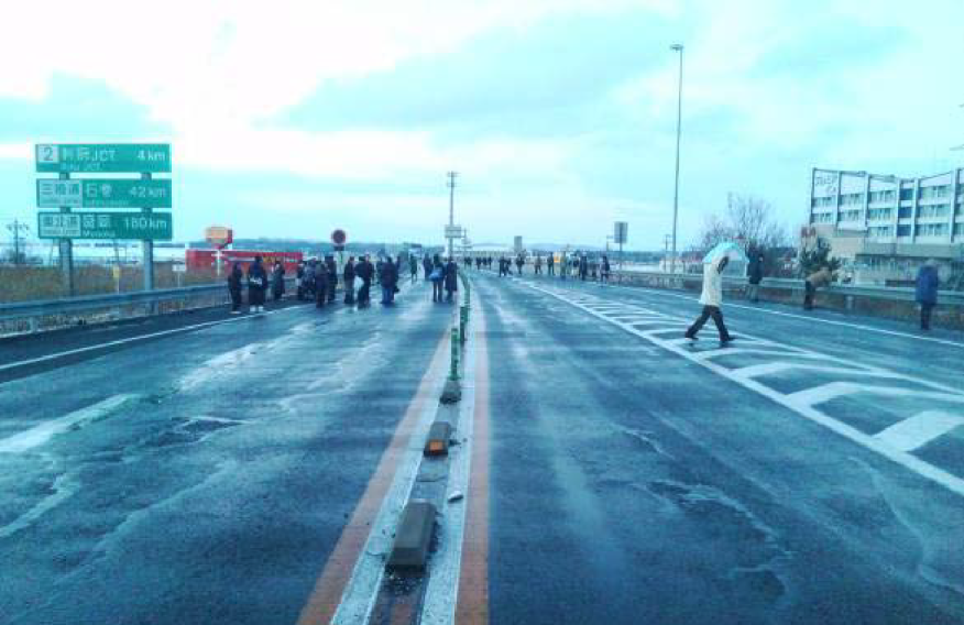
There is a similar report on the Sendai-Tobu Road, which was hit by a tsunami in the 2011 East Japan Earthquake, and several people evacuated to the Sendai-Tobu Road by running up the slope and climbing over the entry barrier, and survived 5. As shown in Figure 4.4.6-2 6 7, a lot of the people could be seen on the expressway during the tsunami.
According to the world bank report, it is indicated that roads, highways, and expressways provided safe evacuation sites and escape routes because they were designed with earthquakes and tsunamis in mind. It pays to take disaster reduction into account when designing transport and other infrastructure 8.

There seems to be a room for improvement on tsunami evacuation from the road administrator point of view. This section will give you some ideas.