Disaster Management Manual
A manual for practitioners and decision makers!

Disaster Management Manual
A manual for practitioners and decision makers!
Use knowledge, innovation, and education to build a culture of safety and resilience at all levels. Disasters can be reduced substantially if people are well informed about measures they can take to reduce vulnerability - and if they are motivated to act. Key activities to increase awareness of disaster prevention include providing relevant information on disaster risks and means of protection, especially for citizens in high-risk areas; Strengthening networks and promoting dialogue and cooperation among disaster experts, technical and scientific specialists, planners, and other stakeholders; Including disaster risk reduction subject matter in formal, non-formal, and informal education and training activities; developing or strengthening community-based disaster risk management programmes; and, working with the media in disaster risk reduction.
Two tools to strengthen knowledge, awareness, and reduce risk are Firecast and FloodCast.
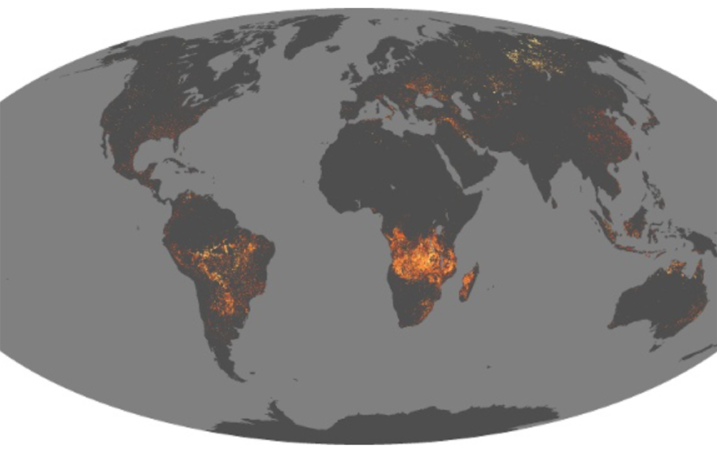
Firecast is a forest and fire monitoring and forecast system, provided and managed by Conservation International (https://www.conservation.org), and currently operating in Bolivia, Colombia, Ecuador, Indonesia, Madagascar, Peru, and Suriname. This system is a fully automated analysis and alert system that delivers a range of near real-time (NRT) monitoring products tailored to a user’s specific needs. These include simple text-based emails containing the coordinates of active fires, or risk of fire within a user’s specified area of interest (i.e., protected areas, areas of high biodiversity importance, different vegetation and land cover types, administrative units, or user-defined regions).” 1
Using satellites from The United States National Aeronautics and Space Administration (NASA) the system can detect ‘deforestation in action — alerting about immediate threats and revealing trends of anthropogenic change. 2 The daily monitoring capabilities of these satellite also reveal trends in earth’s dynamics and can indicate increasing severity of drought conditions.’ 3

The other tool, FloodCast, is a phase IV research project in the United States, titled FloodCast, Phase IV: A Framework for Enhanced Flood Event Decision Making for Transportation Resilience, that ‘aims to strengthen United States DOT flood response capabilities through the integration of real-time actionable flood forecast information into transportation asset management and emergency operations. A substantial enhancement to the existing DOT planning and response toolkit can be achieved by incorporating dynamic inundation mapping that allows for the rapid translation of stream flow predictions of anticipated events to flood elevation, inundation extent and flood depth products along the hydrologic network.
FloodCast attempts to achieve this through coordinating with relevant stakeholders, setting standards for data management, developing methods for flood forecasting processes, delivering incident projection information to DOTs, and providing guidance for the application of outputs in various use cases. A successful FloodCast system will serve to protect human health and safety in the event of extreme weather conditions, while also informing and enhancing longer-term maintenance, planning, and investment decisions.’ 4