Disaster Management Manual
A manual for practitioners and decision makers!

Disaster Management Manual
A manual for practitioners and decision makers!
Road networks are very important social infrastructure for economic, social, environmental and security reasons. However, the frequent and severe flooding associated with recent extreme weather events has had a significant impact on the transportation system and its users. Many lives have been lost when cars are swept away by flood waters and drivers are unable to escape from their vehicles in time. In addition, it sometimes leads to massive blockage of roads. Thus, flooding is one of the most important threats to road management.
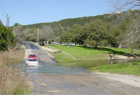
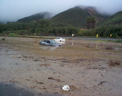
Figures 3.4.1.1 1, 3.4.1.2 2, 3.4.1.3 3 and 3.4.1.4 4 show examples of damage to roads caused by floods. Flooding in creeks and depressions, flooding caused by sediment runoff along with stream water, and flooding of underpasses due to the construction of multi-level roads in cities are all common. The problem of scouring due to flooding is a long-standing effect of flooding.
In many countries, flood and flash flood warnings are issued when weather conditions are expected to bring very heavy rainfall that may cause flooding or flash floods. Similar weather warning information systems are in place in the United States, Europe, Australia, Japan, and other countries. A flash flood warning means that weather conditions indicate a significant and high probability of flooding risk. A flood warning means that there is a high probability that local waterways will soon be flooded.
In the United States, flash flood warnings and flood watches are in place. In Canada, a heavy rainfall warning, which indicates that rainfall is expected that may cause flooding, is essentially the same thing as a flood warning. In Australia, flood warnings issued by the Bureau of Meteorology cover similar conditions to flood warnings in the United States. In Europe, there is the European Flood Warning System. In Japan, there is a warning system that includes special alert information.
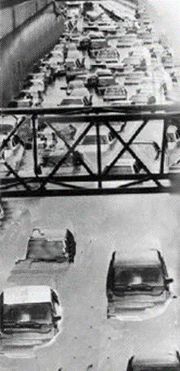
It is difficult to estimate the depth of water on flooded roads, and this has led to many accidents where cars enter flooded roads and get stuck. In addition to such direct damage, indirect damage such as economic loss due to detours along flooded roads has also occurred.
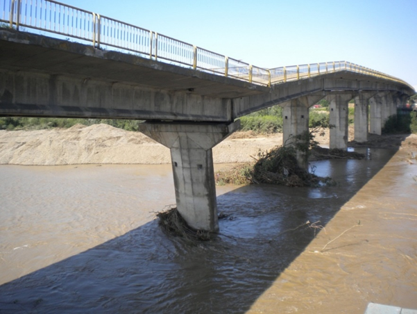
In the case of roads, together with weather warning information, the emphasis is not on predicting the occurrence of floods themselves, but on quickly informing drivers of the effects of flooding on roads. For example, in the event of flooding or flooding, efforts are being made to inform drivers of the effects of the flooding as soon as possible to prevent secondary disasters from occurring.
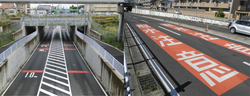
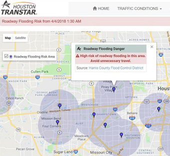
Figure 3.4.1.5 5 shows a warning system that informs road users in advance of flooding. Figure 3.4.1.6 6 shows an example of the installation of road surface markings to warn road users of flooding in urban underpasses. Figure 3.4.1.6 shows an example of the installation of a VMS for warning information. Furthermore, Figure 3.4.1.7 7 shows an example of a real-time flood warning tool to inform drivers of high-risk flood areas during severe storms. The Houston Transtar website and traffic map had over 3 million visitors during 2017 Hurricane Harvy and provided information to travelers when deciding on a route through the Houston area 8.
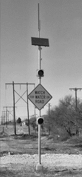
The development of a flood warning system is now underway to enable proactive monitoring, assessment and response to flood-related disasters and associated hazards in real time. If the impact of flooding on roads can be predicted in advance, limited resources can be prioritized to close roads, detours can be planned, the public can be informed before motorists are exposed to flood hazards, and travelers can avoid delays and demands on road capacity during the worst times. These active approaches will be presented in the case studies.
