Disaster Management Manual
A manual for practitioners and decision makers!

Disaster Management Manual
A manual for practitioners and decision makers!
Vulnerability identifies scale, understands populations including environmental aspects of place, is community supported with redundant systems that plan for utility corridors and aqueducts with redundant power grids and pipelines.
The California Department of Transportation’s (Caltrans) ‘methodology used to determine the vulnerability of highway system assets varies from one climate stressor to another. Each stressor uses a different set of models, emissions scenarios, and assumptions, and will cause different types of impacts to the state highway system.
Caltrans manages different transportation assets around the state, the Climate Change Vulnerability Assessment focused on the state highway system and the assets that make up the system (e.g., bridges, culverts). Caltrans focused on its highways as they are critical to serving transportation needs and economies across the state, and Caltrans is responsible for managing their condition. Caltrans evaluated state highway system exposure to climate stressors one district at a time, for each of the 12 districts across the state. 1
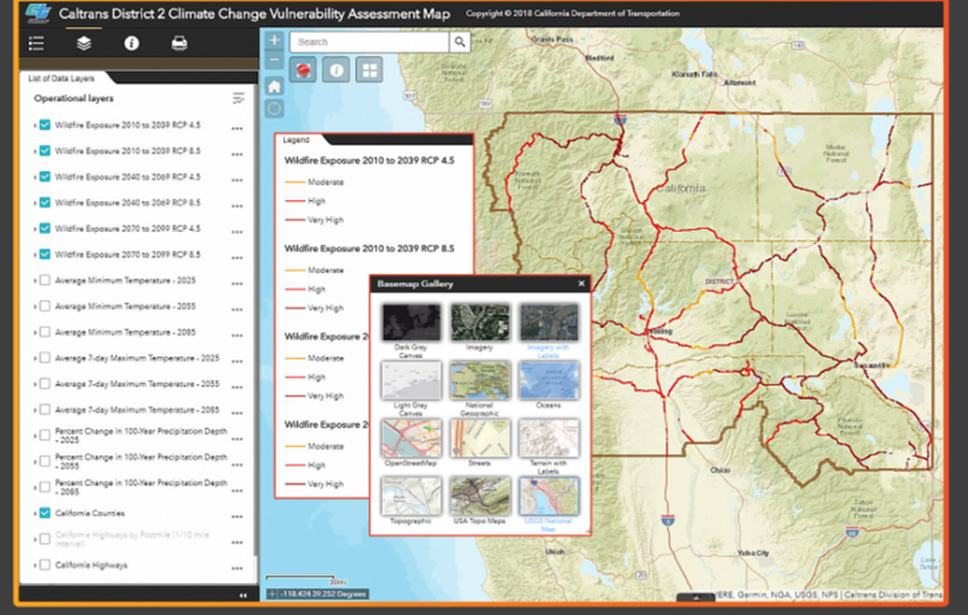
‘Caltrans created a ArcGIS Online mapping tool that allows users to view the data applied in the Caltrans Climate Change Vulnerability Assessment. This tool enables Caltrans staff, stakeholders, policymakers, and California residents to view different climate change projections and identify the state highway system’s exposed areas. The map viewer is dynamic and incorporates new data as it is obtained from various Caltrans projects, identifying which Caltrans assets are exposed to threats from temperature rise, sea level rise, storm surge, cliff retreat, and wildfire events requiring complex geospatial analyses.’ 1
